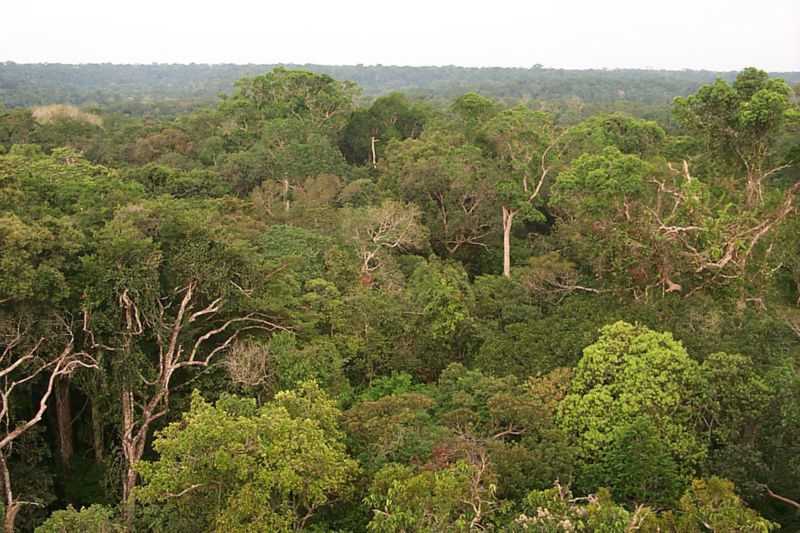
Industrialization and urbanization have drastically changed the face of our planet, and the number of untouched natural habitats for wildlife is shrinking. Conservationists are trying to understand remaining biodiversity in order to create sanctuaries that preserve it. One of the challenges they face is how to make connections among information derived from different methods of evaluating the Earth’s life.
One approach to getting data on biological diversity involves field inventories of species. Another evaluates ecosystem processes by dividing the Earth into categories based on vegetation (forests or grasslands, for example) and subsequently analyzing properties of that category’s plant life. But critical information is often missed when only one method is employed.
But these two types of inventories are actually linked. This link goes by the name “functional diversity,” which represents the features of organisms that influence both their individual fitness and their contribution to the function of ecosystems that contain them. In a recent investigation published in Science, a team of ecologists has used an advanced aerial imaging method to explore the functional diversity of plant communities.

